3D Modelling – Options & Pricing
O.S. Data costs are based on EMAPS 2017 pricing
Model Style 1 (Basic) = LOW DETAIL O.S. data + LOW DETAIL modelling…..from £130
Model Style 2 (Intermediate) = HIGH DETAIL O.S. data + LOW DETAIL modelling…..from £352
Model Style 3 (Optimum) = HIGH DETAIL O.S. data + HIGH DETAIL modelling…..from £442
Optional Features
Pre programmed View Points…from £75
Animated Drive/Flythru’s…from £75
See below for detailed breakdown of Options & Costs
There are 5 major components that make up a 3D model………….They are….


And Optional but recommended.
The 3D development modelling can vary substantially depending on what the development is and the level of detail required. ENVsupport has streamlined the processes when modelling certain developments and has managed to minimise costs.
Because of these development model variances it is not possible to give a “Standard Cost” for 3D Modelling but below is a description of commonly used modelling style options and “Indicative” starting prices for each style.
Most Common Style Options
The following options are commonly used style combinations but are all totally customisable to suit a clients immediate requirements. Free advice will be given to achieve the lowest cost possible prior to any work being done.
When choosing a style option suitable for the phase your project is at, any work done & costs incurred in earlier stages can be carried forward to future stages of development, effectively minimising costs in the early optioneering phase and spreading modelling costs across the lifespan of the project.
Model Style 1 (Basic) – LOW DETAIL O.S. data / LOW DETAIL modelling.
O.S. Data…from £60 + 3D Modelling…from £70 Total Cost…from £130
+
+
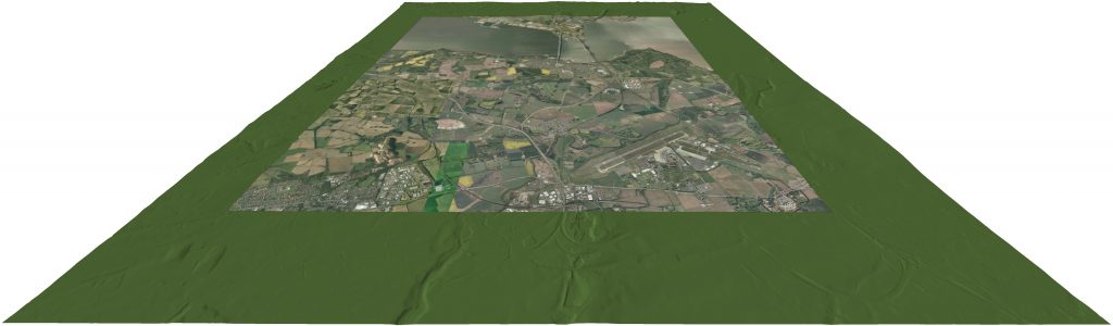
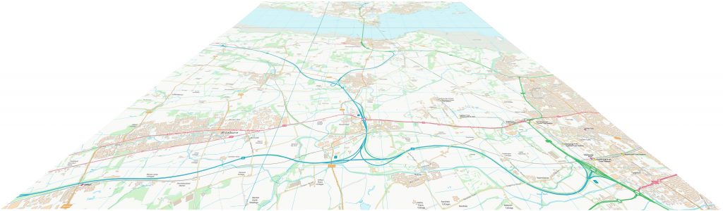
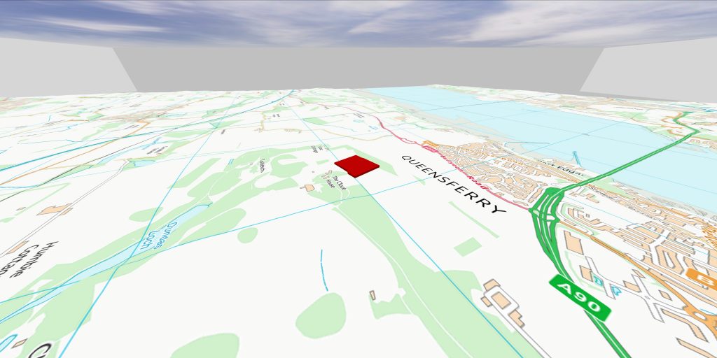
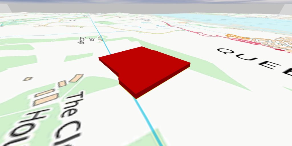
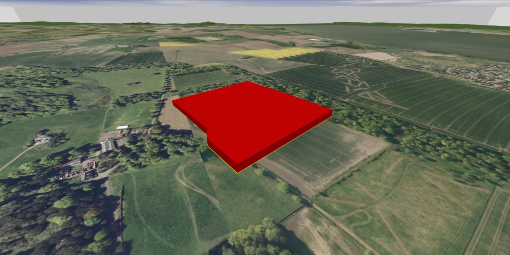
This option is made up with a base 3D terrain model (15Km x 15Km area) with an O.S. raster map (15Km x 15Km area) draper over it to give location reference.
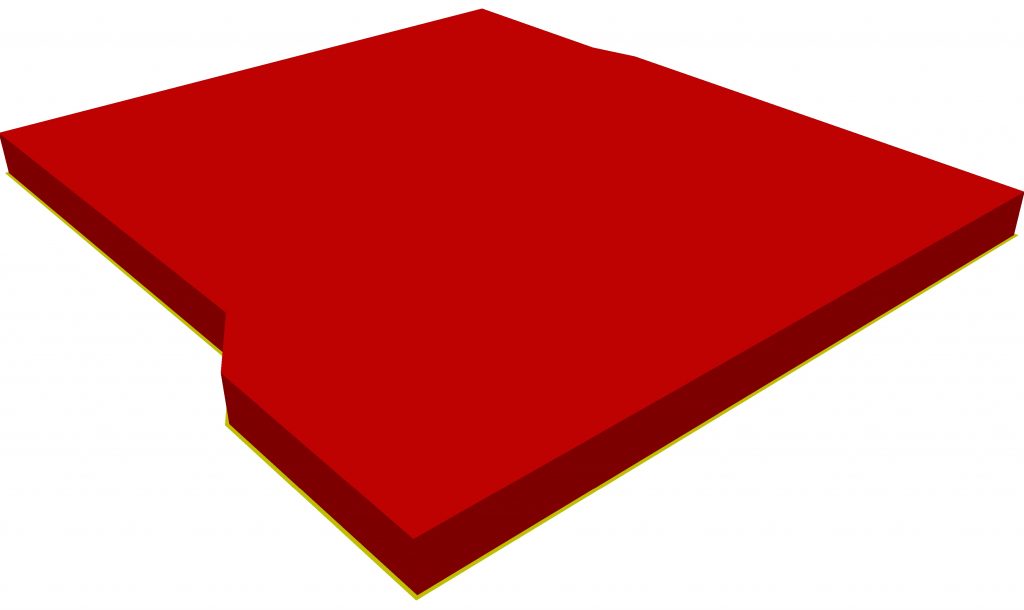
The development itself is represented as a coloured 3d block model, positioned in its location, showing the footprint area and height of the development .
With the economic use of Ordnance Survey data and low detail modelling of the development, this basic style is ideal for the early multi-optioneering assessments when determining site selection.
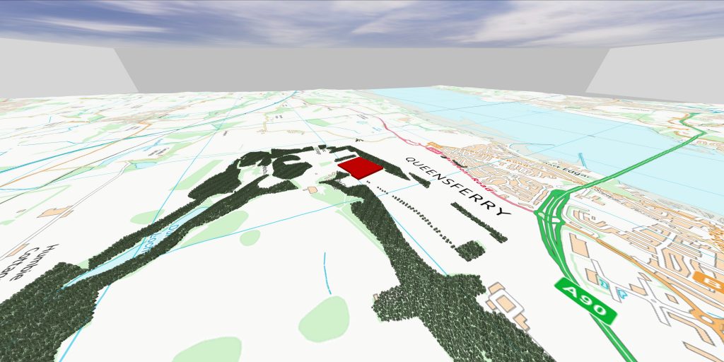
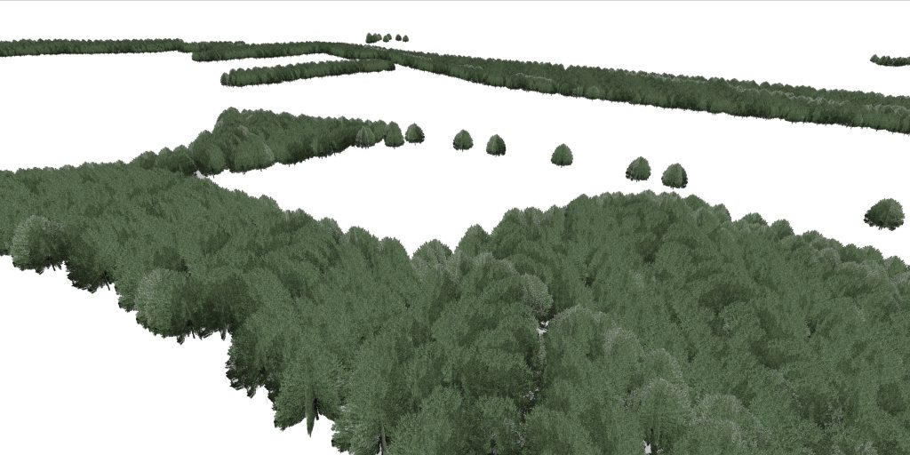
Note: By ADDING block models to show existing forestry areas and heights to this basic style you have all you would need for initial site and visual intrusion assessment where proposed sites can be screened by the terrain features and forestry, or, used as a backdrop to assist with the design an overhead line or cable route.
Model Style 2 (Intermediate) – HIGH DETAIL O.S. data / LOW DETAIL modelling.
O.S. Data…from £282 + 3D Modelling…from £70 Total Cost…from £352
+
+
+
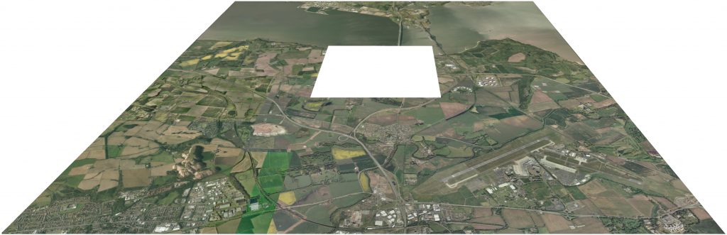
This option gives a more realistic ground model because of the HIGH RESOLUTION imagery (3Km x 3Km area) at the site location and surrounding LOW RESOLUTION imagery (11Km X 11Km area).
Again, the development itself is represented as a coloured 3d block model, positioned in its location, showing the area and height of the development .
With the use of high & low resolution imagery, which makes the site area more recognisable to the local community, and low detail modelling, this intermediate style is ideal for use in consultation presentations (screen grabs…?) to show the visual impact (if any) of the site while keeping specific development detail at a minimum.
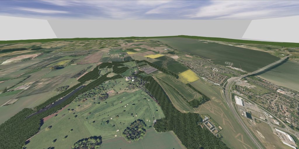
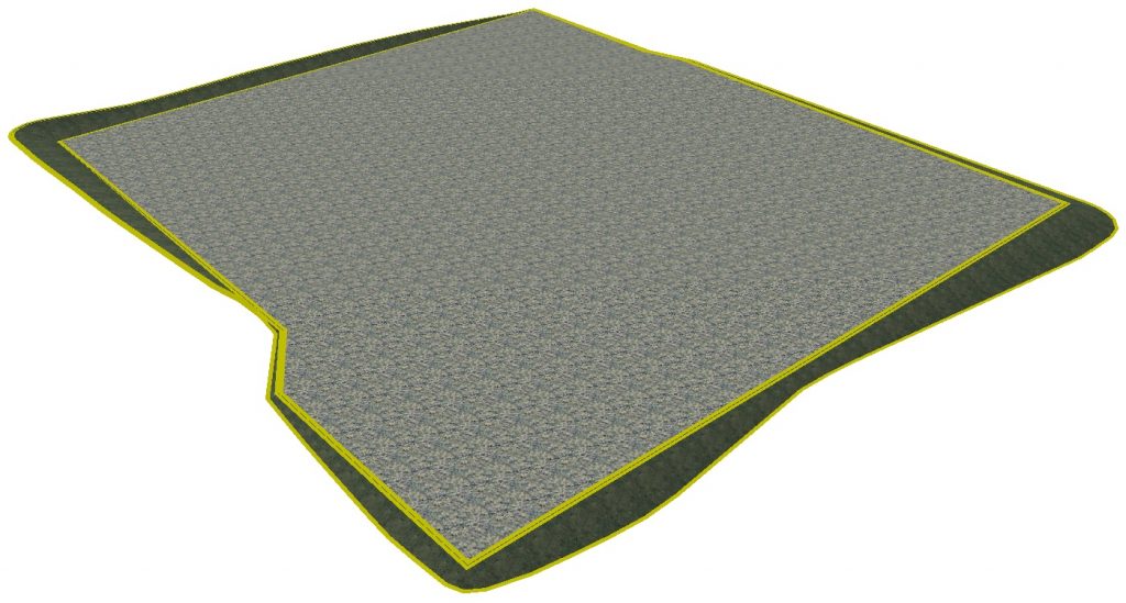
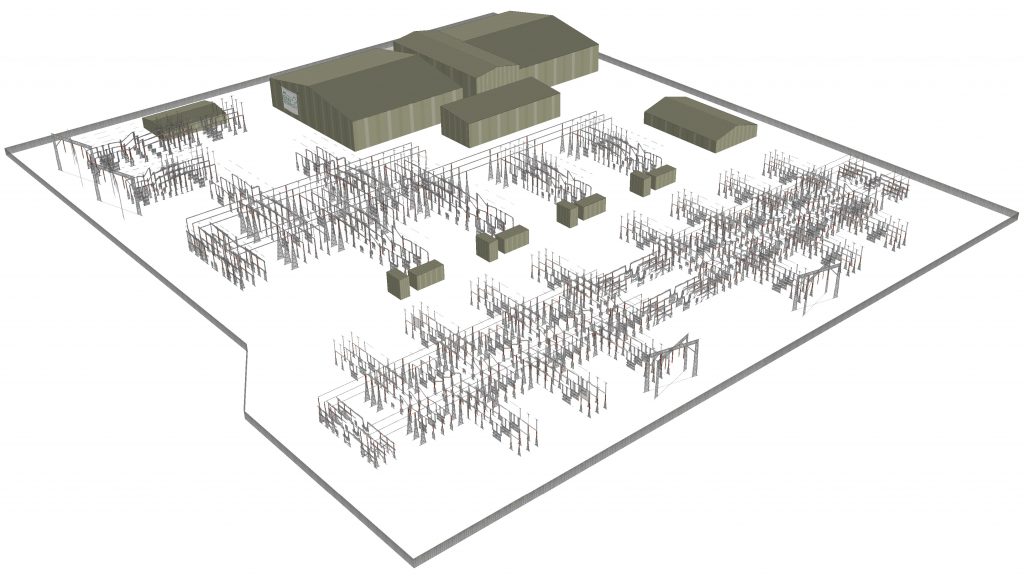
Model Style 3 (Optimum) – HIGH DETAIL O.S. data / HIGH DETAIL modelling.
O.S. Data…from £252 + 3D Modelling…from £190 Total Cost…from £442
+
+
+
+
+
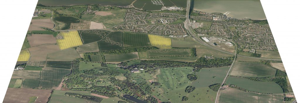
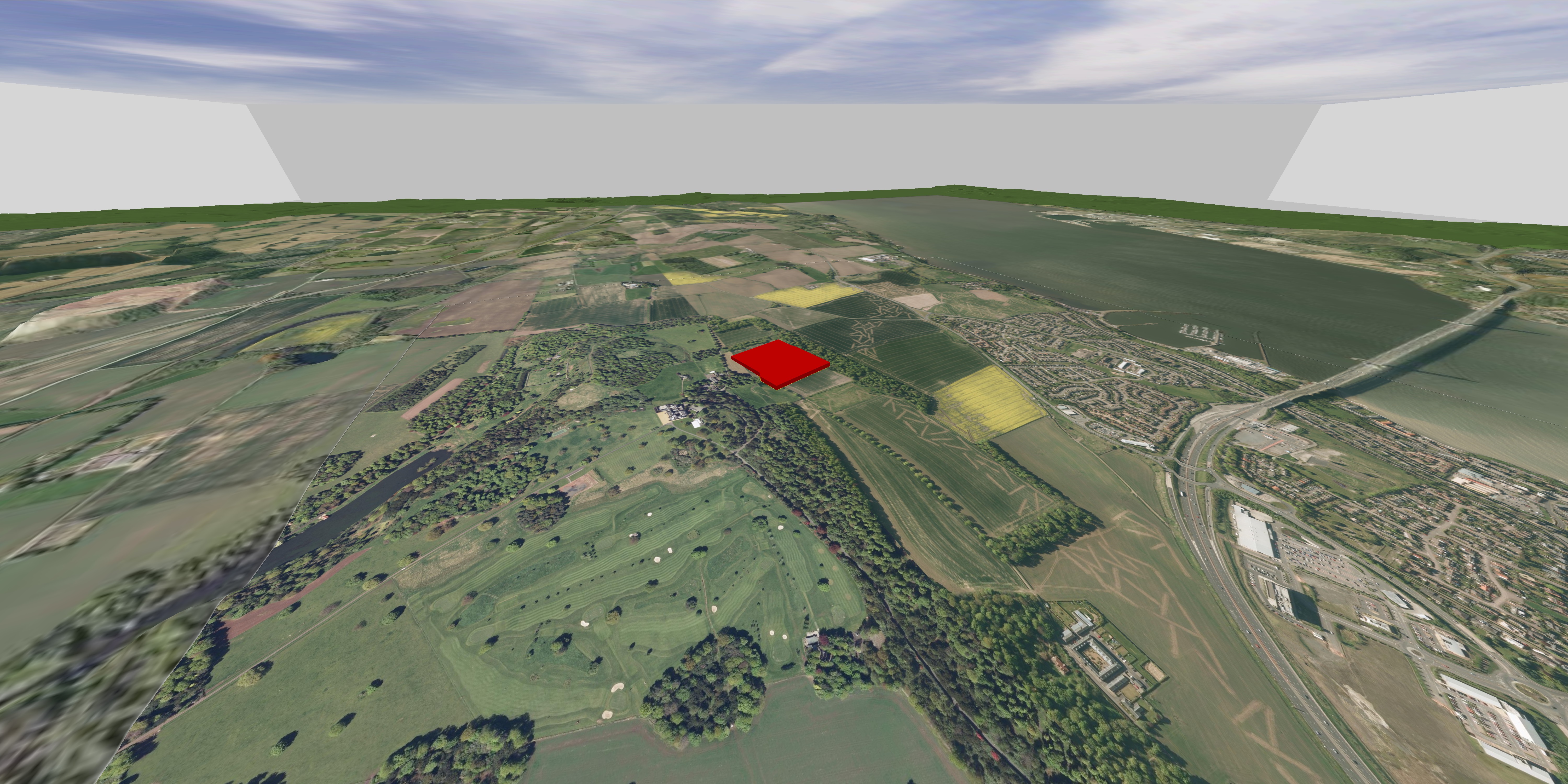
This option gives a more realistic visualisation by having accurately detailed models of the proposed development and the surrounding landscape (trees, fences, roads, etc.).
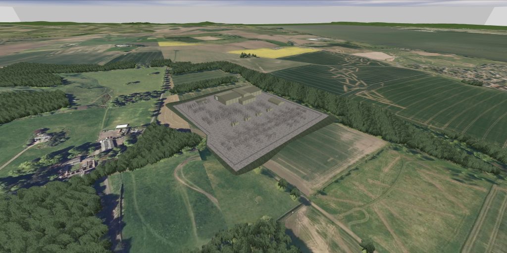
The increased level of detail in this style allows more targeted focus on improving the proposed design by showing detailed features such as designed access tracks, platform excavations & batters, proposed screening & landscaping etc.
Optional Features
Pre programmed view points…from £75
can be ADDED on to any style option selected to ensure accurate and repeatable viewing positions when assessing visual impact from important visual receptors and, like the 3D modelling, can be carried forward and modified as the project progresses.
Animated Drive/Flythru’s…from £75
can also be ADDED to any style option and can be used at consultations to clearly illustrate to stake holders what the proposed development will look like in its chosen location.